Tjirrkarli
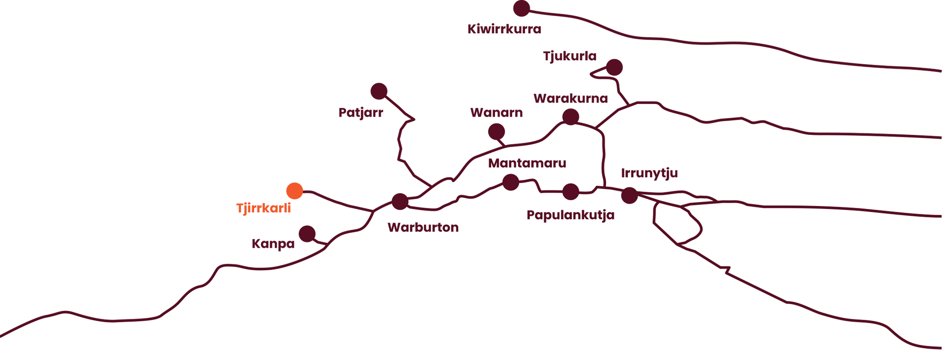
Tjirrkarli is located in the “rirra” (plateau of ironstone pebbles) country northwest of Warburton, named after a native yam. It lies between Lake Breaden and Lake Gillen.
Welcome to Tjirrkarli
Tjirrkarli is located in the “rirra” (plateau of ironstone pebbles) country, northwest of Warburton and is named after a native yam (Tjirrkarli). It lies between Lake Breaden and Lake Gillen.
In the 1960’s, traditional owners in Irrunytju and Tollu worked for rations and camped close to what is now Tjirrkarli to ensure no sites were damaged.
In the 1970s-1980s, a growing number of traditional owners who had lived most if not all of their lives in the Goldfields region (their parents having left the Tjirrkarli region as early as the 1930-40’s and gone to Mount Margaret Mission) began to slowly return. Some traditional owners who had moved to Warburton left to set up an outstation near Mt Samuel called Mangi, not far from Tjirrkarli. An accidental death and poor quality water from the Mangi bore precipitated a move further west to Tjirrkarli. After Shell Oil constructed a water bore in the community and the community gained official status (was registered) even more traditional owners moved back, some from as far away as Cosmo Newberry, Wiluna and Kalgoorlie.
Shell Oil came to the community in the 1980’s to search for oil and construct an extensive network of seismic lines (some of which are now used as main access roads to the community or as hunting tracks). One of the first jobs of the Ngaanyatjarra Council was to negotiate an agreement with Shell Oil to ensure that no sacred sites or sites of significance were disturbed or damaged during the exploration work in the Tjirrkarli area. Resources were provided by the company to allow a scouting team of traditional owners and anthropologists to work with the company surveyors as they cleared and flagged proposed seismic lines.
Community Gallery
Tjirrkarli Community Office
Tjirrkarli Community Services Manager (CSM)
Email: tjirrkarli.csm@ngcouncil.org.au
Tel: 08 8956 7686
Fax: 08 8956 7627

